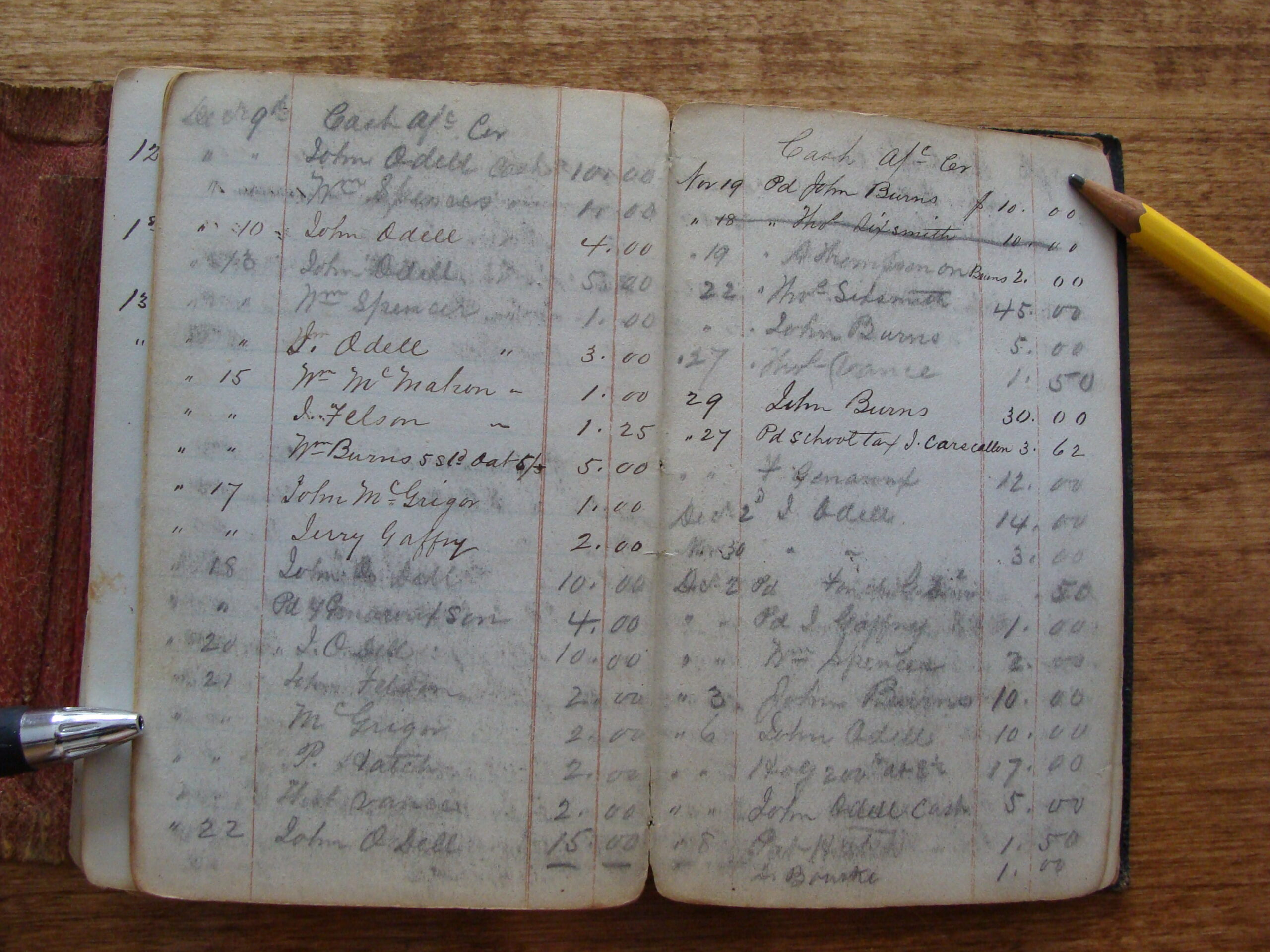
“I have worked and collected materials, researched and documented and listened for 15 years. This is why Arches is such a gem for me as it is the best possible place to preserve all of this (historical data).” – Mary Margaret Revell Goodwin — Queen Anne’s County Historian
These are some kind words about Arches Cultural Heritage and Asset Management software from Queen Anne’s County.
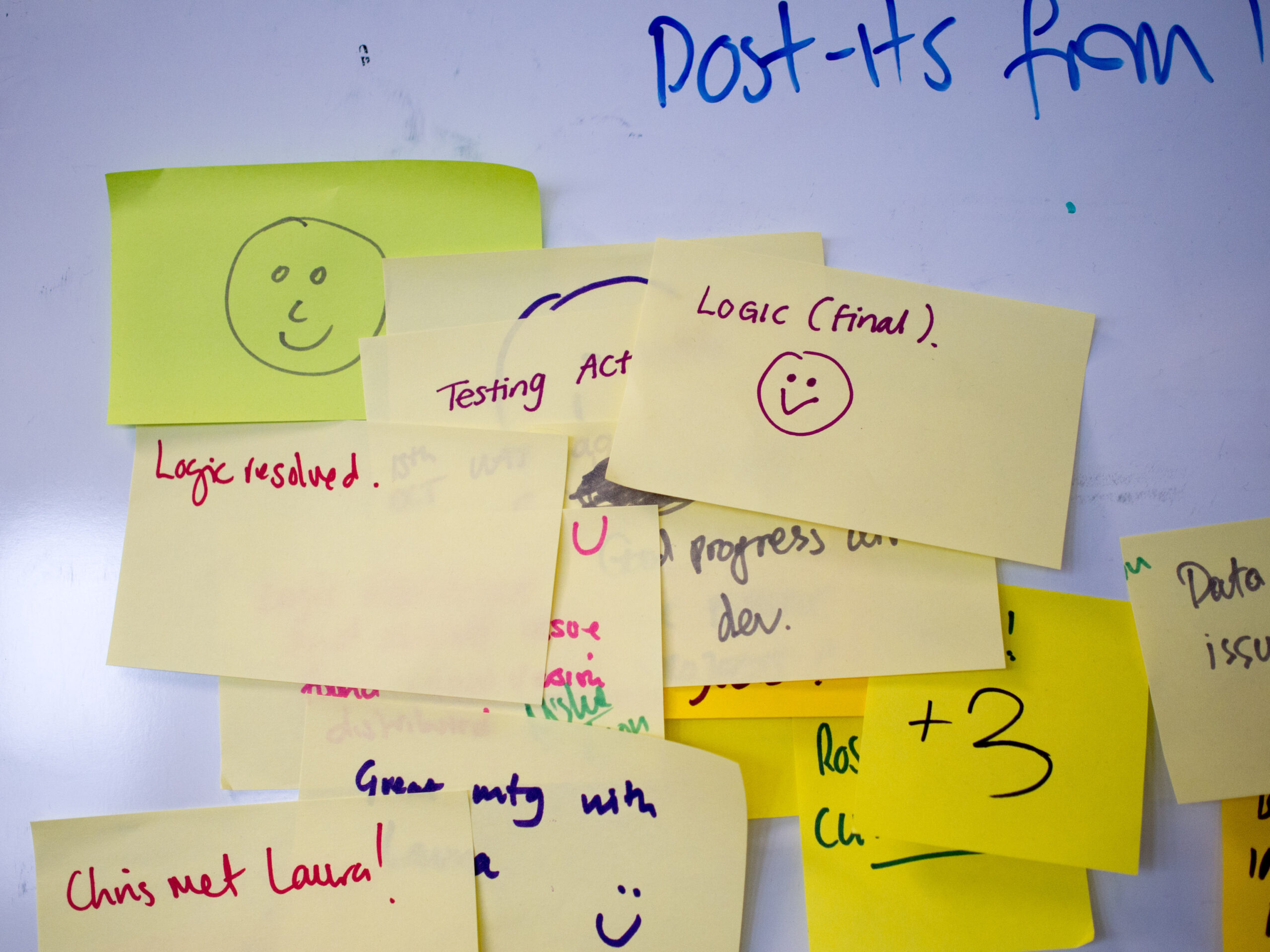
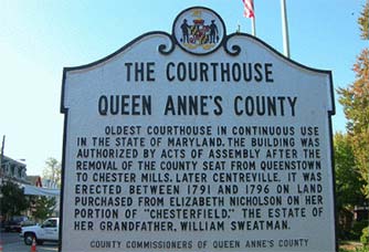
Farallon worked with the Queen Anne’s County to implement the Arches Heritage Inventory Package (called “HIP” for short) on a securely hosted server. The County is currently working on populating the Arches v3 implementation and the default HIP package with their own data. With a long list of county clerks and other important persons, nearly 40 listings on the National Register of Historic places, and tons of significant historic events, Arches is a perfect fit for their data inventory needs. However, one often overlooked feature of Arches has proven to be particularly helpful to the County.
Here’s what historian Goodwin has to say about it:
“The single biggest benefit for us with Arches is NOT the compilation of the inventory of people, properties, etc. It is the way Arches connects “all to all” so that when you search for and retrieve one person, item, etc. you get everything connected to it. It is a phenomenal tool to make all the needed and unknown connections.”
If you haven’t checked it out already, it’s worth taking a look at the related resources widget on the Arches Search page. To find this, navigate to the Search page of your Arches instance (you can use demo.archesproject.org if you don’t have your own yet), perform a search and look for the ‘Related Resources’ link below the title of each search result.

Clicking this Related Resources link will display a force-directed graph of that resource and all resource related to it.
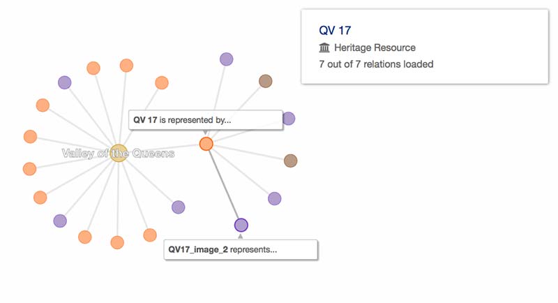
This provides a great way to visualize the connections between your resources and can help users explore your data in a novel way. It can also help you identify and visualize missing connections between your data and help you remedy them.
For more on Queen Anne’s County check out qachistory.org. To check out a demo version of Arches visit demo.archesproject.org (you can even request a username and password). For more information on the upcoming Arches V4, check out What to expect in Arches 4.0 and Resource Graphs in Arches 4.0.