Challenge
Union Sanitary District wanted to develop a Plant GIS Rich Internet application (RIA) for viewing wastewater treatment plant infrastructure and managing mission critical workflows. The District needed the RIA to be tightly integrated with other business systems including its SharePoint Document Management System, Hansen Asset Management System, Wastewater Asset Management database and ArcGIS Server GIS infrastructure.
The application will act as a centralized resource for accessing data, and will speed information retrieval as well as enable information sharing and project collaboration. The application and its components also needed to be flexible, extensible and reusable for future GIS web mapping applications.
Solution
Farallon Geographics designed, developed and deployed a web-based GIS asset tracking application to monitor USD’s water treatment plant assets. The Rich Internet application monitors wastewater treatment plant infrastructure and manages mission critical workflows.
Farallon developed Plant GIS using ESRI’s ArcGIS Server GIS framework and REST API, as well as Microsoft’s SQL Server 2005 database. The application is written in .NET, and uses the ASP.NET MVC application architecture and Farallon’s web component framework that extends Open Source libraries including OpenLayers, ExtJS, and Raphael. This approach results in a highly robust, flexible, and cost-effective technical platform upon which to build and extend Plant GIS.
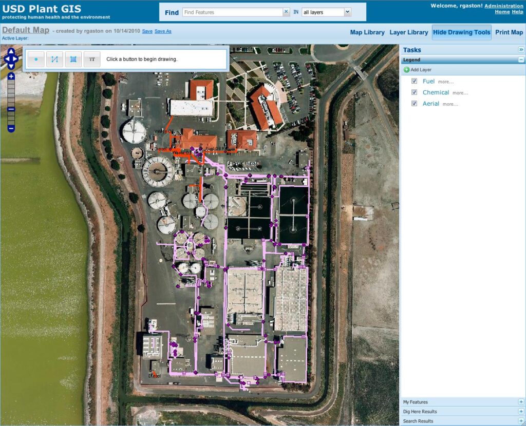
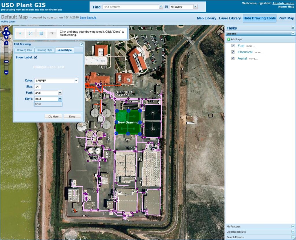
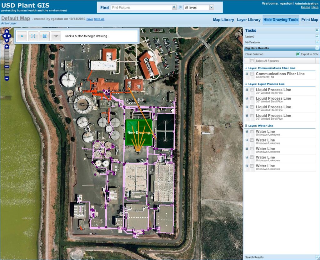
The Plant GIS application facilitates informed communication and collaboration amongst USD staff by allowing engineers, technicians, and supervisors to create and share maps with custom redlines, labels, and notes. It includes a set of tools for identifying and creating features that have been customized to support the District’s specific workflows. Staff members can rapidly create custom maps and may save and share them easily with colleagues. Saved maps can be accessed using the application, or with Adobe Acrobat, Microsoft Excel, and other desktop applications.
The application is extremely easy-to-use and highly productive that will be used to manage the District’s four acre treatment facility. Plant GIS is expected to reduce capital improvements outlay, as well as operation and maintenance costs, while significantly streamlining and improving staff communications.
Screenshots & Videos