 We’ve been working on the Middle Eastern Geodatabase for Antiquities (www.megajordan.org), a very cool Open Source and web-based GIS for documenting archeological sites. MEGA has just been launched for the Kingdom of Jordan, and we’re already hard at work on deploying it for Iraq.
While MEGA does lots of things, we see it as the definitive geospatial inventory of archeology in Jordan. And while that might not sound too interesting, it turns out that you can’t really properly interpret, conserve, and manage archaeological sites until you’ve documented them. For MEGA, documentation means defining the location and extent of a site, its various names, significance, and specific archaeological finds at a site.
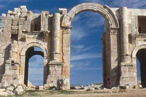
Consequently, the MEGA web app allows authenticated users to add and edit GIS features such as sites and archeological features managed within a PostGIS database. As of late April 2011, that amounts to something like 56,000 geometries representing everything from pottery shards to the remnants of ancient civilizations such as Petra.
It’s one thing to put information into an inventory (this will be a blog post for another day!), but it’s quite another to find a specific item in a large inventory.
One of the more interesting challenges in building MEGA was thinking through how to make it easy for the archeologists, inspectors, planners, and researchers using the app to find where a specific site or artifact record in the inventory was.
For MEGA, we took two different approaches to search. The first, and the more “GIS-y” approach, was to use the map as a means of filtering the site inventory. Specifically, we take advantage of administrative boundaries (governorates and sub-governorates in Jordan are analogous to U.S. states and counties) as a means of quickly identifying sites.
We display these admin boundaries as vectors on the map, which means that we can use their geometries to query the database for sites within a given boundary (just open the report panel to see a list of the sites within an administrative boundary in addition to their locations on the map). The admin boundary vectors also let us do a better job (in my opinion) of letting the user navigate and zoom throughout the Kingdom. All a user has to do is move their cursor over the map and click on governorate to zoom that that location.
There are times when you want to find a specific item in an inventory. Unlike the traditional GIS web app, MEGA tries to implement text-based searches in a more intuitive fashion. All a user has to do is start typing in any of the names or identification numbers associated with a site to start searching the inventory.
MEGA allows any number of Latin or Arabic names for a site or archeological feature, so allowing a user to just start typing for a simple search is a pretty big deal. Our search widget is implemented using AJAX, so feedback is pretty immediate and useful.
For more sophisticated searches, users can click the “advanced search” link to expose what I hope is a user-friendly way of building sophisticated filters (both attribute and geospatial) that can quickly return and display just the specific sites that meet the selection criteria.
Try it for yourself and let us know what you think! www.megajordan.org