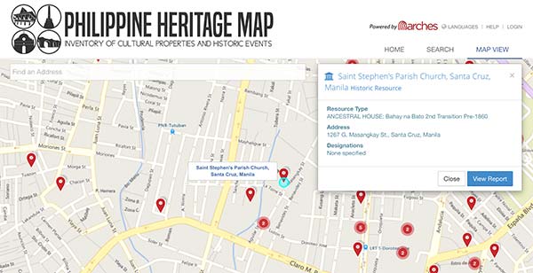
Two natural disasters stirred a crowd sourcing initiative to create the Philippines Heritage Map, an online cultural repository that went live in September. The map project is an inventory and management system for cultural properties and historic events around the Philippines, powered by theArches which was developed by Farallon Geographics for the Getty Conservation Institute and the World Monuments Fund. It is maintained by the local stakeholders, government units, heritage practitioners and volunteers, all working towards preservation of Philippine cultural heritage through proper research, documentation and capacity building.
Arches is an open-source geospatially enabled information system designed to inventory and manage all types of immovable heritage, including archaeological sites, buildings, structures, landscapes, and heritage ensembles or districts. It is available on web and mobile and provides an interactive graph view of resource relationships to make it easy and fun to uncover relationships and patterns over time and space.
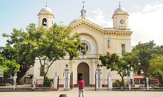
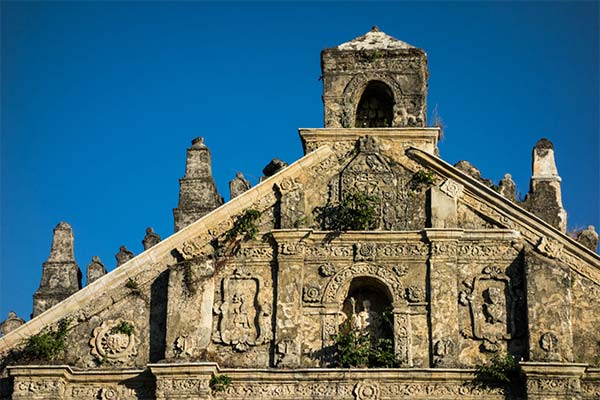
The Philippines is rich in cultural history. After it was struck by two disasters in 2013 — the 7.2 magnitude Bohol earthquake and Typhoon Haiyan, damaging much of the Spanish colonial structures including churches, heritage homes, cemeteries, watchtowers and forts, the need for the Arches-based system was decided.
Over the next 3 years, staff and volunteers will add tens of thousands of historic resources to the Philippine Heritage Maps. The easy-to-use UI and mobile version, makes it easy for continuous improvements to ensure that the heritage is presented so that people find it meaningful, and it helps them make an informed choice about managing their heritage sites.


