Location, location, location. We are used to hearing that mantra when it comes to real estate. But location and geo-analytics can play an important role in many SaaS applications as a way to analyze data, manage resources, and provide tailored services.
What spurred me to blog on this topic, was a series of recent news items, all focused on the increased use of location information for mainstream business:
- The rapidly growing range of interactive mashup services for consumers, government, and businesses that combine maps with all sorts of data from a variety of sources (e.g. all of the apps you have seen integrating Google Earth, Google Maps, or Microsoft Virtual Earth).
- The extensive list of pilot projects using Radio Frequency Identification (RFID) for enterprise supply chain management to improve the efficiency of inventory tracking and management. (RFID tags are essentially tiny radio transmitters that get attached to supplies, products, transportation vehicles, & even employees).
- The introduction of geospatial technology into PDFs for collaboration and self-service access. Adobe has determined that location information is of sufficiently great interest to enterprise organizations and government agencies, that they have built geospatial mapping into their main cash cow software, Acrobat.
- Most of the “killer apps” that were winners in Google’s Android Developer Challenge were focused around location using GPS (Android is the new open source mobile OS from Google coming out first on the G1 from T-mobile).
- Firefox 3.1 has implemented the W3C’s geolocation API. This will give users the option for web applications to deliver tailored information based on their current location – for the laptops, desktops, or mobile devices.
While each story addresses a completely different area of application, they all share a common theme that location-based services can play a productive role in business. Not only can they provide real-time visibility into a company’s performance (i.e. business intelligence), but they can be used to tailor information to individual users via their current location.
An intuitive lens onto complex data
Adding location intelligence to your SaaS can be basic as designing an interface that looks at your sales and performance data through the lens of a map. For supply chain, inventory, ERP, CRM, order fulfillment, and logistics, a map UI can provide significant insights into large amounts of data that would be difficult to discern from a spreadsheet or statistical analysis (e.g. clusters, holes in coverage, boundaries, overlap with other factors, etc). A user-validated map interface can quickly help to answer tactical questions such as “where are my customers and revenues vs. my sales force and competition?”
Analytic services designed for non-specialists
A SaaS can also be designed to integrate with a geospatially-aware on-premise backend (e.g. Oracle Spatial, ArcGIS) so a user can make analytic queries such as “show me the stores with sales > X AND which are within 10 miles of competitor Y”. Of course, a GIS specialist can do this kind of thing now using on-premise GIS software. But for this technology to be applicable to mainstream business, it needs to be available online, with an interface that exposes the high value scenario actions and queries for non-GIS experts.
Mobile SaaS enhanced by location
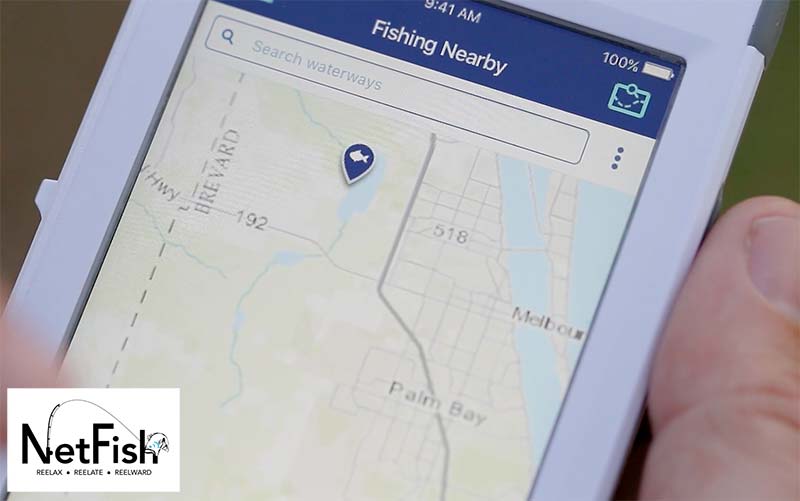
For mobile SaaS applications, GPS (or at least triangulation) is integrated into most modern cell phones. These applications can be designed specifically around location for asset and sales force tracking, fleet management, emergency notification, route planning, local search, marketing, etc. (not to mention the social networking and entertainment applications).
While rudimentary geospatial tools have been online as a service for quite some time (.e.g MapQuest maps and directions), modern SaaS that integrates location-based services can offer better, smarter, and faster decision making, better user experience, and completely new types of service offerings.


