Local governments and municipalities have struggled for years to obtain a shrink-wrapped solution to managing and using geodata within their enterprises. It’s a difficult nut to crack because every local government (and every GIS implementation) is “custom” to some extent. It was impossible to find GIS software that quickly and easily installs, loads data, and works the way you want it.
Compounding the problem, development of the right GIS data model is very complex and requires specialized skills beyond what most local government staff have on hand. This often results in a mass-import of content from shapefiles and their legacy data structures into what should be a well thought-out relational enterprise database.
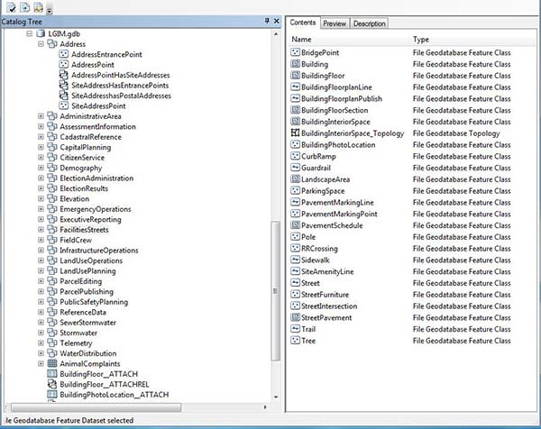
The good news is that I think ESRI has achieved a milestone to alleviating some of those pain points for municipal agencies by introducing the “Local Government Information Model” (LGIM) and its subsequent workflows, applications and services that it refers to as “ArcGIS For Local Government”. The LGIM is a mature model that defines a set of feature datasets, feature classes, tables, relationship classes, and topologies that support a wide array of GIS services and applications that are common to local government workflows.
We have worked with a number of clients and migrated them away from their legacy geodatabase model and into the LGIM. The migration process involves working with municipal staff to combine our understanding of the LGIM with their expertise in the unique datasets and workflows that they need to support. By combing our knowledge with theirs, we define an enhanced version of the LGIM (usually just adding a few feature classes, tables, and/or columns) and then proceed to support a “mapping” of their data from the legacy source data into the target LGIM database. For example for the Town of Danville we developed a Land Use Management System Implementation using Esri ArcGIS and LGIM. For Tulane County, we developed an open source Enterprise Addressing System that integrated with the County’s Esri database using LGIM.
Our customers gain a high level of benefit for a limited cost. By storing their data in this well documented and standard data model, many applications and services become immediately useable. For example, great-looking basemaps can be turned on with the flip of a switch providing a consistent geographic context across local government departments and agencies.
We think that the LGIM is very well suited for municipal agencies that understand that their geodatabase needs to be more than just “shapefiles within SQL Server”, but on the same token, do not have the time or skillset to properly design and maintain a custom data model from the ground up.


