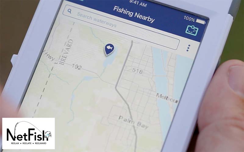
 eCatch is a tool from The Nature Conservancy (TNC) that addresses one of the most difficult aspects of fisheries management: the collection of good fish location data to allow for in-season adaptive management. eCatch addresses this problem using a web-based app for crowd-sourced collection, mapping and sharing of fishing data.
Using eCatch on an iPad, fisherman at sea, report areas where they catch overfished species and learn from other fisherman where the more abundant species are. By collaborating and sharing their fishing logbooks in real-time, fisherman can help:
- visualize collective spatial patterns in fishing
- minimize by-catch of depleted species
- develop by-catch avoidance predictive maps that correlate spatial fisheries data with oceanography variables
Farallon worked with TNC to develop eCatch v1.0 and v2.0 using industry standard and open source technologies for geospatial data access/reporting as well as mapping. Our web team currently works to maintain and further enhance the eCatch 2.0 UI and mapping technology.


