 Yesterday, we received a very rewarding email from a colleague who had worked for Farallon on a project we helped the MarineMap Consortium complete a couple of years ago:
“Just thought I would pass along an experience that, I hope, may bring a smile to your face. I was in a meeting with some VIP’s today for a petroleum client we are working with. It has to do with running power cables out to the oil platforms off the coast of So-Cal. They have to be very careful to do this while also adhering to several environmental guidelines of not disturbing any habitat.”
“Well, we were in this meeting and one of the project managers said he had discovered a ‘killer’ web application that shows all the features we need to make sure we avoid.”
“He proceeded to open up the MarineMap Decision Support Tool. I was so excited! I told them that I had a hand in helping to create that web application when I worked for Farallon which was part of the MarineMap Consortium team. The tools that Farallon creates are well respected and you never know who might be using them (and for what, right?).” Tomas Lopes, GIS Manager, URS Corporation
What is MarineMap?
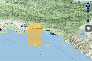
MarineMap Web 2.0 is online mapping application that enables members of scientific community and general public to participate in the selection of marine environments that should be designated for conservation, recreational, and commercial uses. Read More »
The MarineMap application is being updated and will be replaced by SeaSketch Read More »


